
Caddo Lake and the Journey back to Hilton Head

Caddo Lake
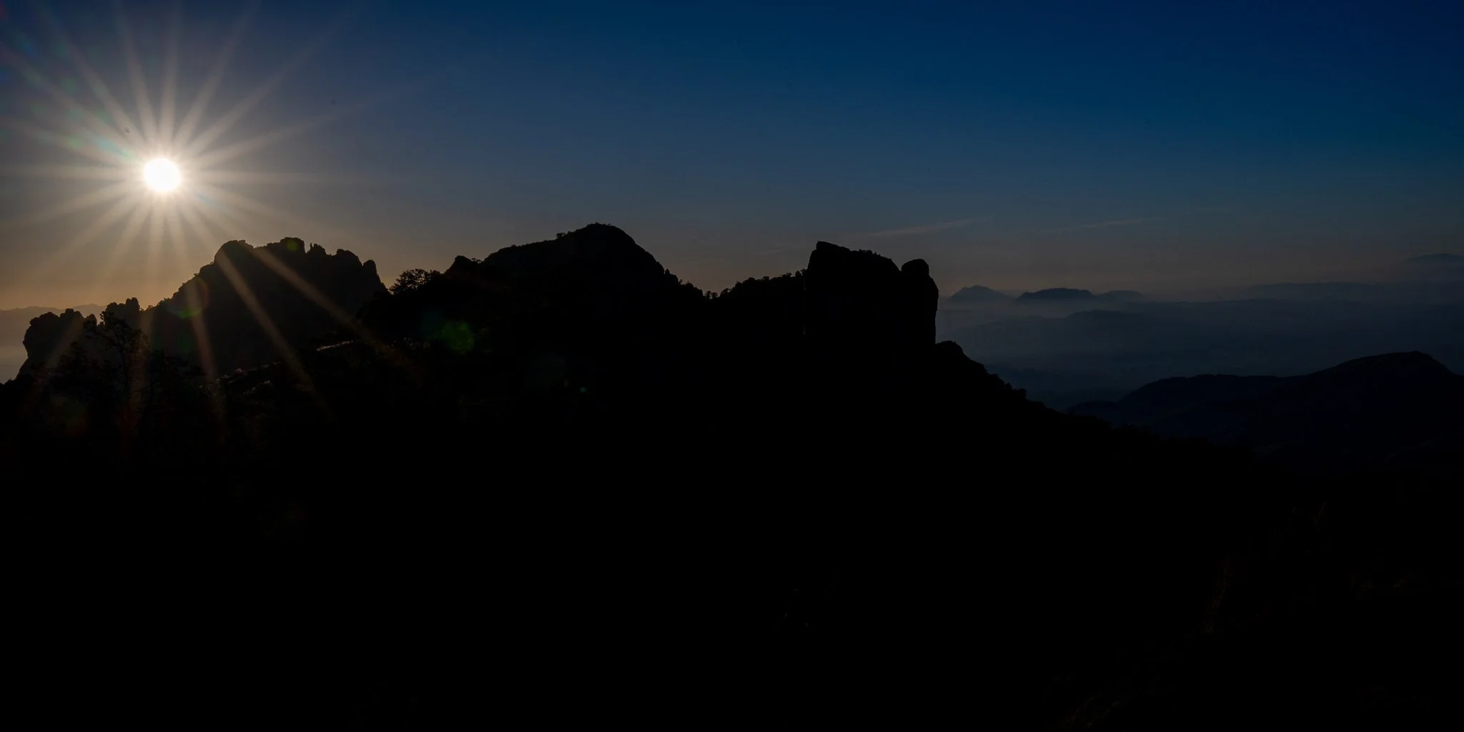
Big Bend National Park
Antelope Island
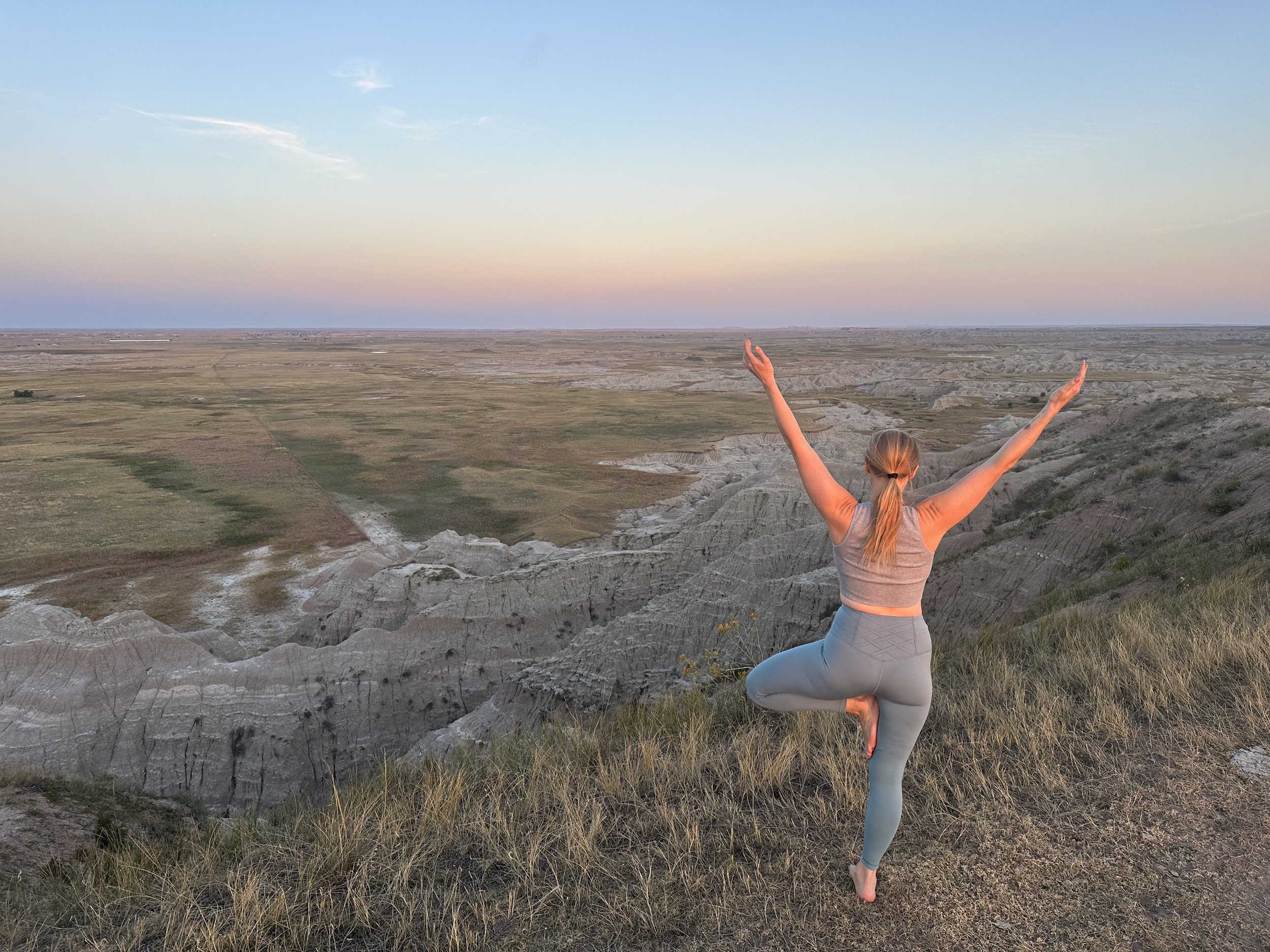
Badlands National Park

Newfoundland! Once Again!
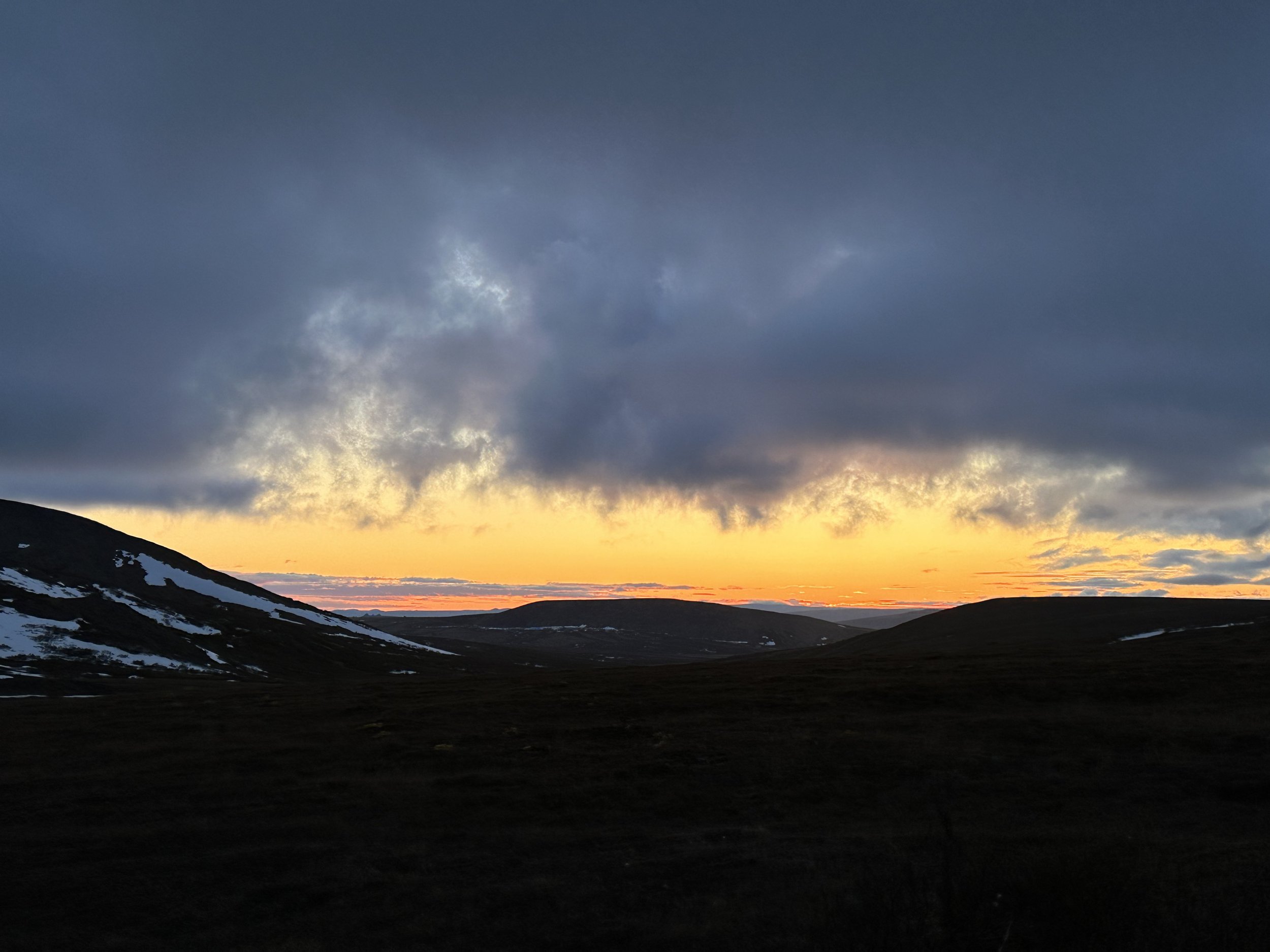
Anchorage, Nome, and Utqiagvik, Alaska

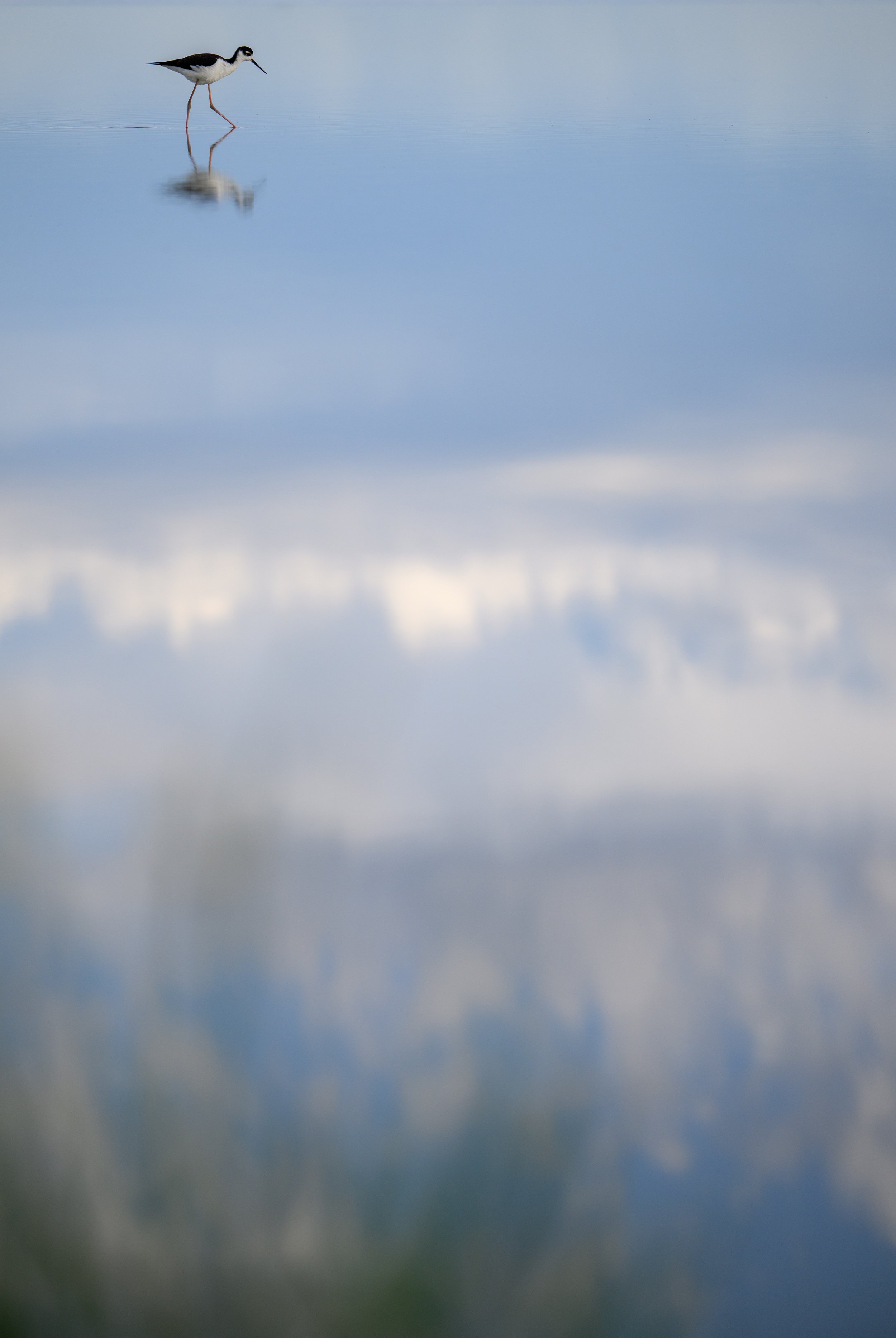
Banks Lake, Georgia
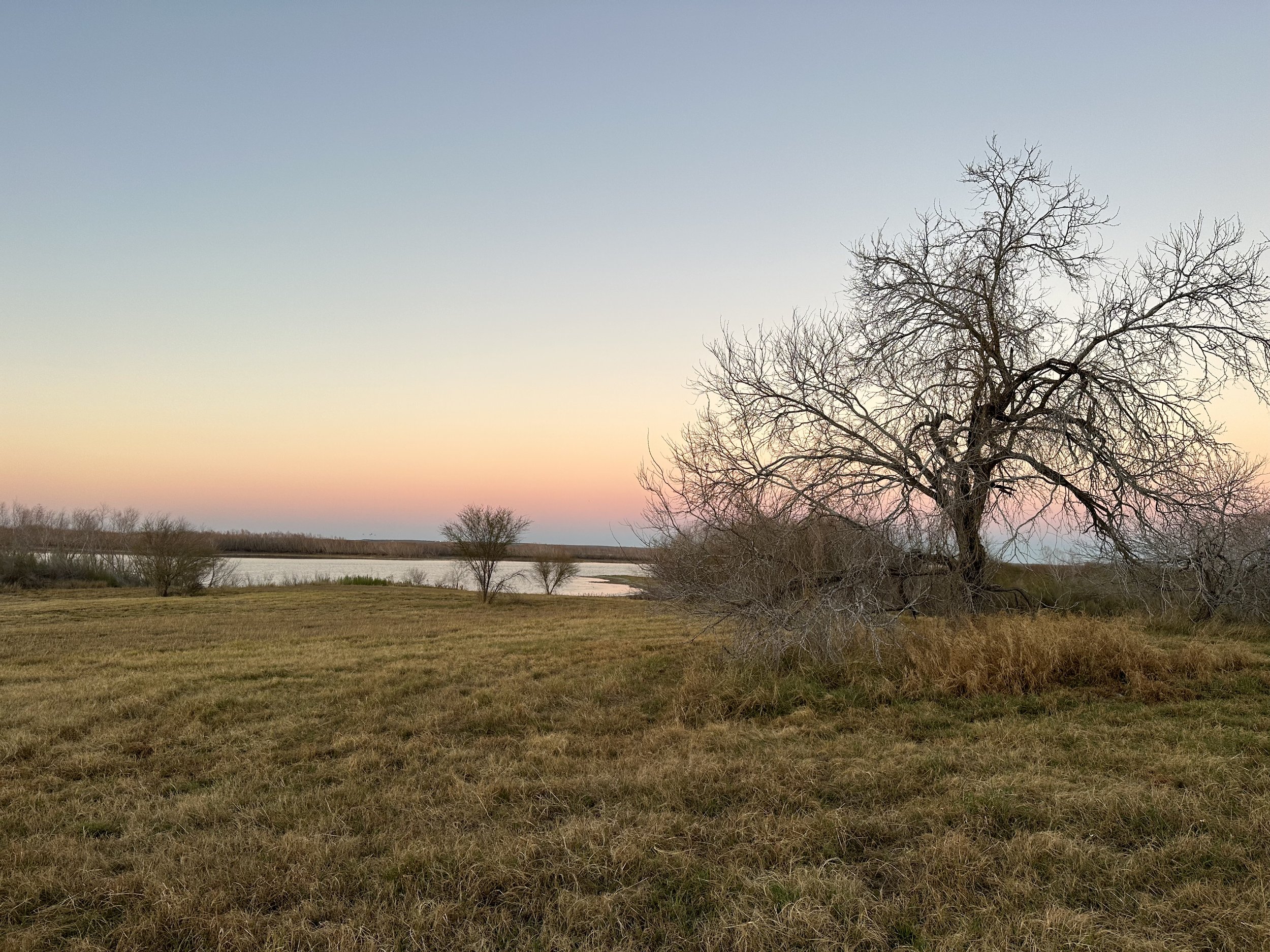
Choke Canyon State Park
A trip to Choke Canyon photographing waterfowl
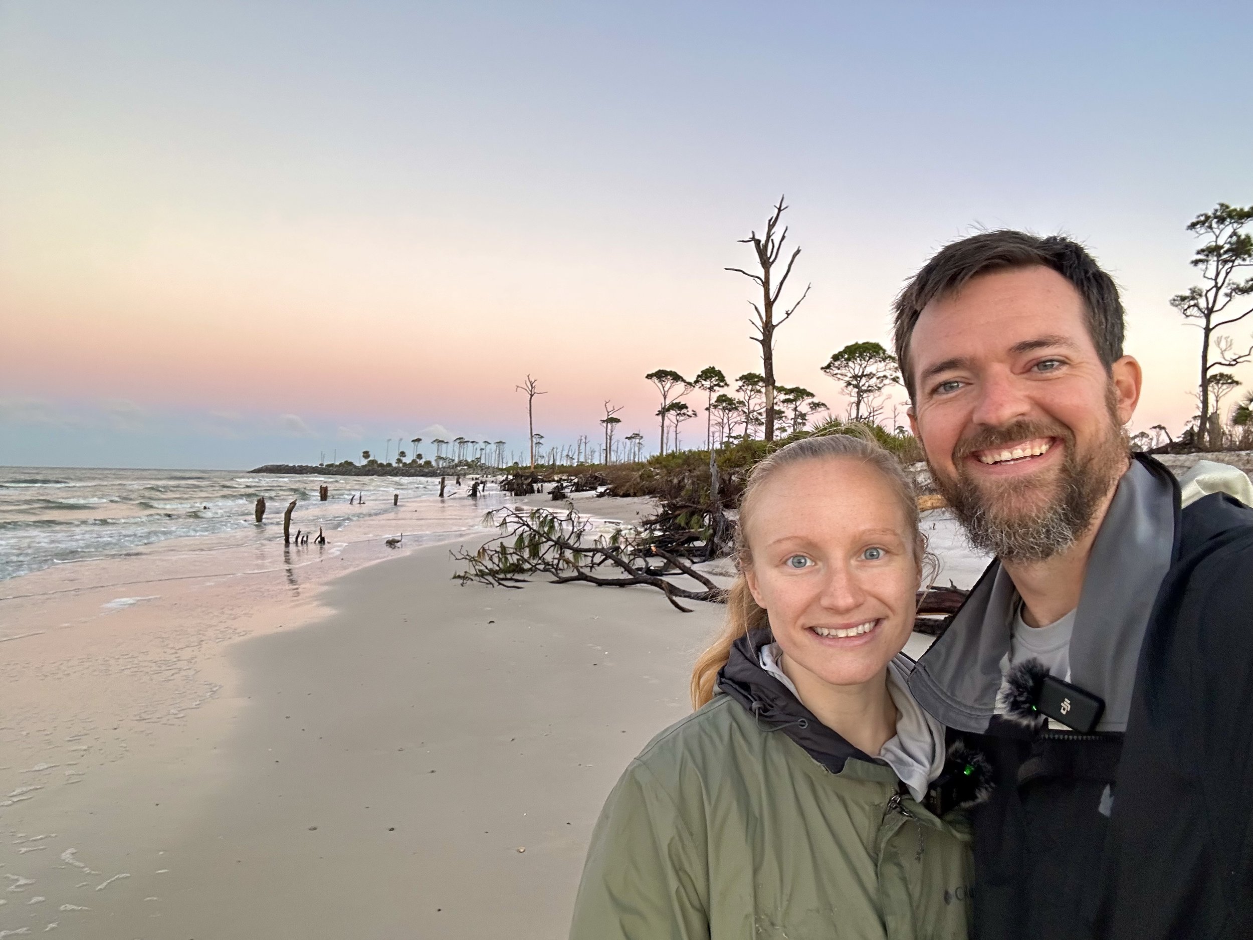
Florida’s Forgotten Coast
A trip to Florida’s Forgotten Coast to photograph shorebirds!

Fort De Soto
A visit to Fort De Soto during the Full Moon to photograph shorebirds

Paynes Prairie Preserve State Park
A visit to Paynes Prairie State Park to photograph Snail Kites

Antelope Island
My first trip to the Great Salt Lake

Newfoundland 2022
Our first visit to Newfoundland to photograph Puffins and Gannets and other seabirds

Muddy in the Marsh
Photographing Tri colored herons in the Marsh in Hilton Head
