
Bird Photography at Fort De Soto

Orlando Wetlands

Sanibel Island, Bunche Beach, and Burrowing Owls!

Photographing Shorebirds in Sebastian, Florida
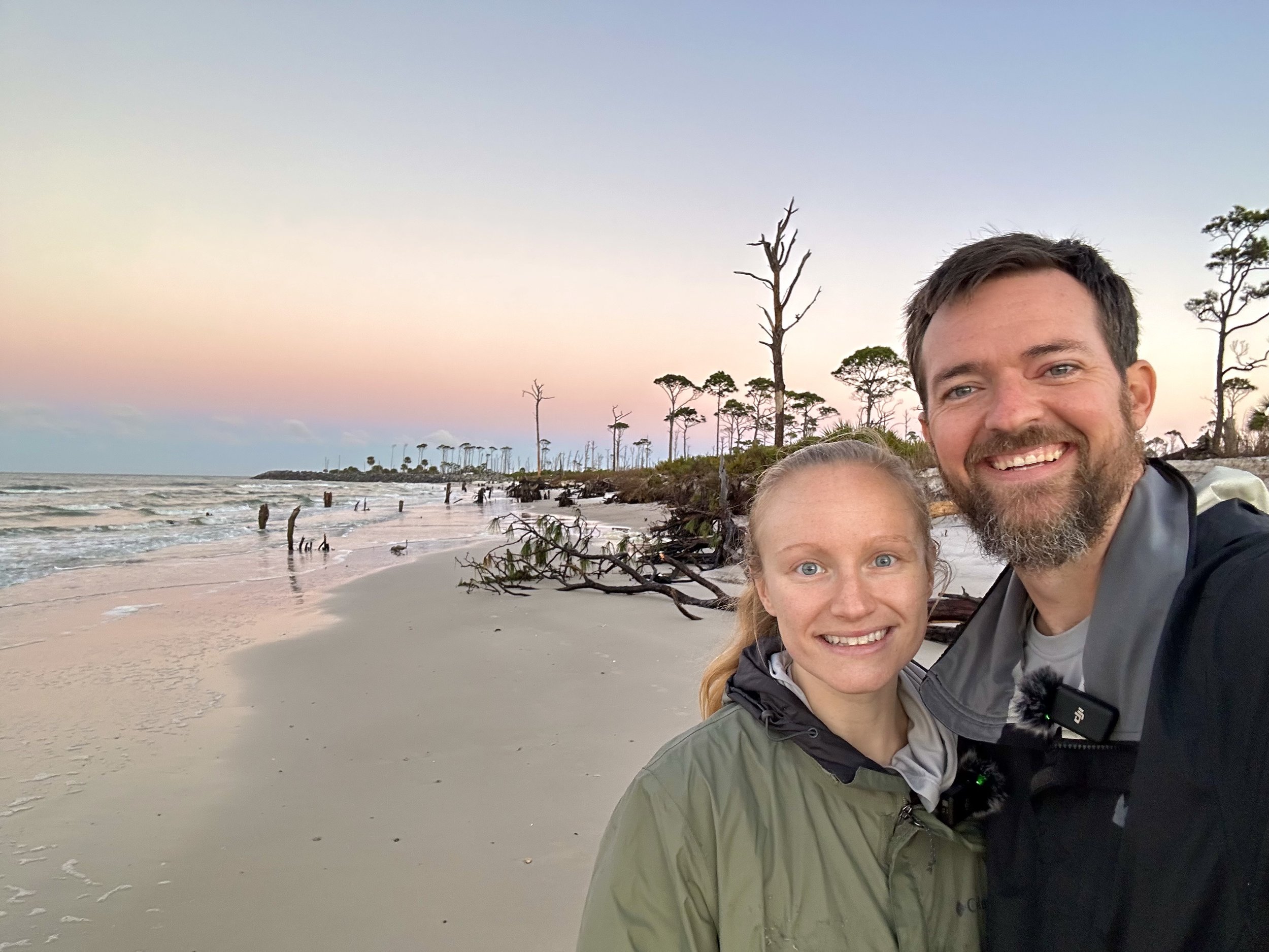
Florida’s Forgotten Coast
A trip to Florida’s Forgotten Coast to photograph shorebirds!

Fort De Soto
A visit to Fort De Soto during the Full Moon to photograph shorebirds
